After heavy snow blanketed the Northeast, a new storm system will move across the country this weekend bringing snow and rain.
Heavy snow fell from southern Connecticut through the Hudson Valley and into parts of upstate New York on Friday as most of Long Island saw anywhere from 3 to 7 inches of snow.
Meanwhile, the New York City area accumulated just above 4 inches of snow as difficult travel conditions are expected through Saturday while crews work to clean up this wintry mess.
Central Park recorded 4.3 inches as of Saturday morning, which is the most snowfall from an event for the city since January 2022, when 8.3 inches fell.
The winter storm is beginning to wrap up, but some lingering light snow and wintry mix will stick around today along the I-95 corridor as an additional inch of snow and a light glaze of ice will be possible across the region.
Meanwhile, low temperatures across the Northeast from Washington, D.C., and Pittsburgh to the North and East will be near or below freezing on Saturday night, allowing for refreezing of any slush or snow that’s still on the ground.
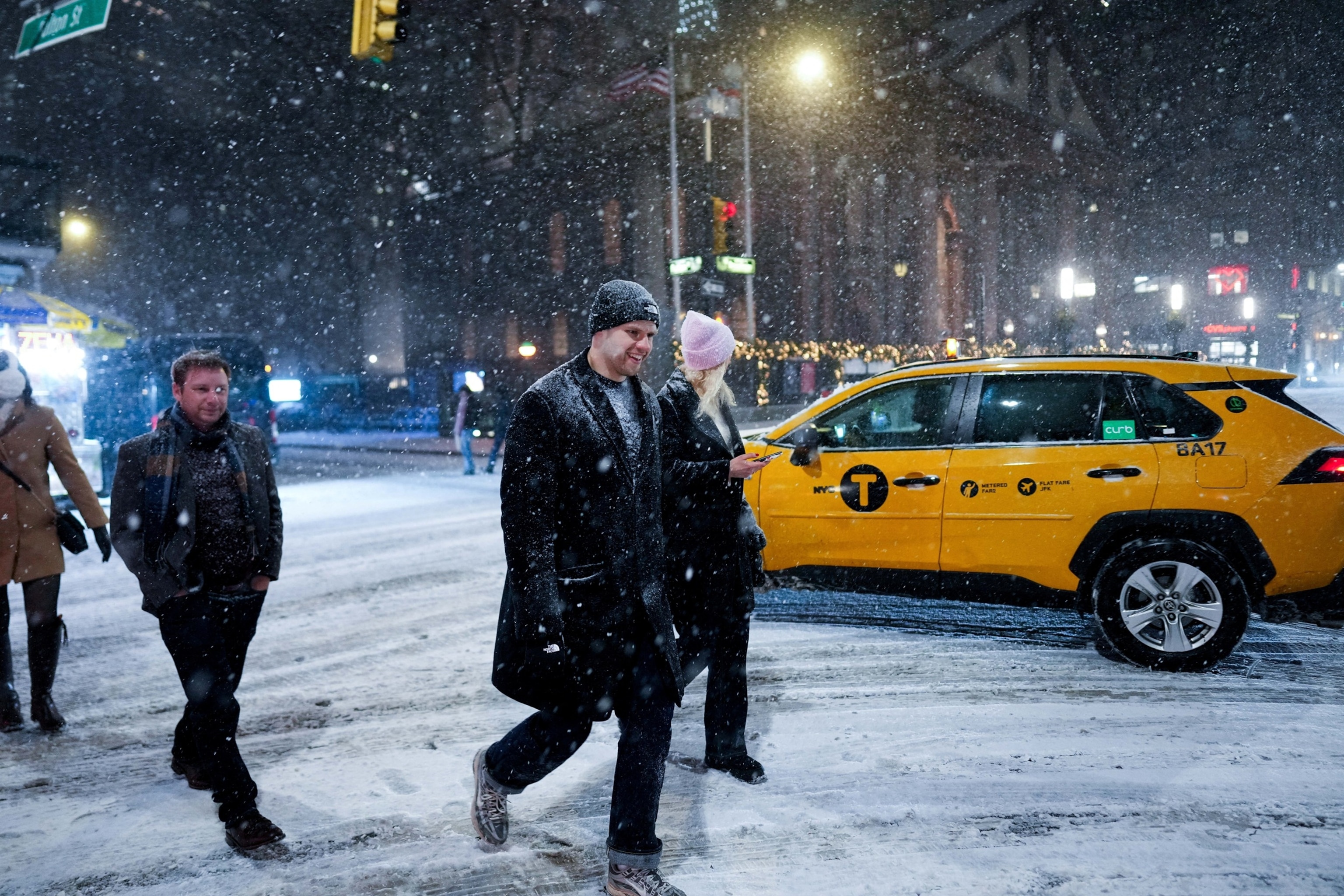
People cross the street as snow falls during a winter storm in New York City, U.S., December 26, 2025.
Adam Gray/Reuters
Another system will move through the region late Sunday into Monday but will be mostly rain, though some wintry mix will be possible into higher elevations.
This weekend, a storm system will move from across the country and bring more snow to the inner mountain West on Saturday and eventually rain to the East on Sunday.
On Saturday, the Rocky Mountains will get snow from Idaho and Montana through Wyoming and Colorado. On Sunday, some snow may linger in the Colorado Rockies and into northern New Mexico.
Most of these mountain areas will see up to a foot of snow, but some areas could see up to 18 inches.
A blizzard warning has been issued for Minnesota, Wisconsin and the Upper Peninsula of Michigan where strong winds up to 55 mph could blow the snow around and reduce visibility to near zero. Whiteout conditions are forecast just west of Minneapolis.
Winter Weather advisories were also issued from Wisconsin to New Jersey and most of the Northeast where ice — freezing rain — could be an issue Sunday into Sunday night.
The storm will hit Minneapolis, as well as Wisconsin in Green Bay and Marquette starting Sunday morning with heavy snow and strong winds.
Snow and winds will continue into Sunday night before ending Monday morning.
Heavy rain will hit Chicagoland and southern Michigan and all the way into western New York.
A flood watch has been issued near Buffalo where some localized flooding is possible.
Popular Reads
Freezing rain will move into Hudson Valley and New England Sunday late afternoon into the evening hours.
Icy glaze is possible on untreated surfaces, such as sidewalks, side roads.
New York City, Philadelphia and Boston will mostly see rain, but at the start of the precipitation even major cities could see some sleet, and freezing rain before temperature rises above freezing and changes all of the precipitation to rain.
Rain should be ending in New England Monday afternoon.
Snowfall totals in the Midwest could reach a foot or more, especially in parts of Minnesota, Wisconsin and Michigan and a glaze of ice could reach quarter of an inch from Pennsylvania to Maine.
On Sunday, rain will pick up across the Midwest from Kansas and Missouri through Ohio and Pennsylvania while scattered thunderstorms are possible from Arkansas up to Ohio, with some possibly strong enough to bring gusty winds and maybe an isolated tornado.
This system is expected to continue to move through the East late Sunday through Monday, bringing rain for most and freezing rain for some in northern New England.

Children play in the snow in Manhattan, New York, on Dec. 27, 2025.
Kena Betancur/Reuters
Next week is expected to start off wet for the East on Monday and will bring mostly rain to the East Coast, with some snow and wintry mix possible for the Great Lakes.
The next winter storm is expected to slice through the Midwest and Great Lakes Sunday through Monday. Winter Storm Watches have been posted for Minneapolis, Green Bay and Marquette, as well as other portions of the region from central Minnesota to the Upper Peninsula of Michigan, for heavy snow Sunday afternoon into Monday.
A Flood Watch has also been issued for Buffalo and Jamestown, New York for up to 1.5 inches of rainfall from Sunday afternoon into Monday afternoon.
Most of the country should see dry and quiet weather leading up to New Year’s Eve, with the West seasonably warm and the East seasonably cooler.
After New Year’s, a new weather pattern will stick around for the start of 2026 as warmer temperatures should stick around for most of the West and reach down into parts of the South.
Meanwhile, the Upper Midwest and Northeast will be on the cooler side with an active pattern of quick-moving systems possible.
